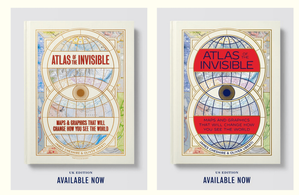
Educator colleagues Catherine Owen, Paul Turner and I have had the privilege of working with James Cheshire and Oliver Uberti, developing educational materials for their latest book Atlas of The Invisible.
The book is truly is an impressive piece of work, deserving of the three awards and positive reviews received so far. In my opinion it is a must have for the school library, and teachers can make so much use of it in various ways.
Here’s part of a discussion James and I had, introducing the concept of the book.
Once you’ve explored the website a little, click on the ‘For Educators’ link on the menu bar to check out and download the free educational materials created alongside myself, Catherine and Paul.

The activities can be worked through directly through the website, or in most cases, be downloaded as printable documents from a Google Drive. They are divided into three categories.
Lesson packs
Ready to use resources with guided reading, introductory concepts and discussion points.
- Where fires are burning around the world
- Our changing ocean
- Accelerating glaciers & melting ice
- Rising sea levels
- The rise of bicycle sharing schemes
One resource is “How satellites reveal changing light levels around the world”. James and I discussed the associated map in the book called ‘Light Levels’ and its context.
Taking action
Resources to inspire change.
- Who? What? Why? of maps and graphics
- How can we stop the world burning?
- Do you suffer from flygskam [flight shame]?
- How clean is the air we breathe?
- Do maps lie?
Regular readers of my blog and followers of my work will know that I have focussed a lot on climate change and climate anxiety in particular. There is an educational resource created about this topic. I asked James if he felt the visualisations in the book were at risk of generating anxiety.
Behind the maps
This category has all the videos where I interview James about some of the themes behind his work.
- Introduction (first video above)
- The power of narrative in mapping
- What can mapping light levels tell us? What are the responsibilities of the map maker? (second video above)
- The power of maps
- The influence of W.E.B Du Bois
I didn’t know about the work of W.E.B Du Bois before I read Atlas of the Invisible and spoke to James. It’s something I would like to look into deeper and perhaps write or co-write a blog article for the Decolonising Geography website. Here’s the discussion about Du Bois and how he influences James’ work.
So please do go check out both the book and the educational resources. If you are an educator you won’t be disappointed as the visualisations are wonderful and are perfect for getting your students to practice analysing different kinds of data presentation. Not to mention give more context and background to what is being looked at.
If you’re heading to the Geographical Association’s conference in April 2022, James will be giving the public lecture and on conference Tuesday, James, Paul, Catherine and I will be running a workshop about the power of maps and educational use of the book.
Thank you! All my education work via the Geogramblings’ “Life Geographic” blog is done all in my spare time, at my own cost but is free for you to access and enjoy. If you can spare a few pence, I’d be delighted if you could show your thanks by ‘buying me a coffee‘.